
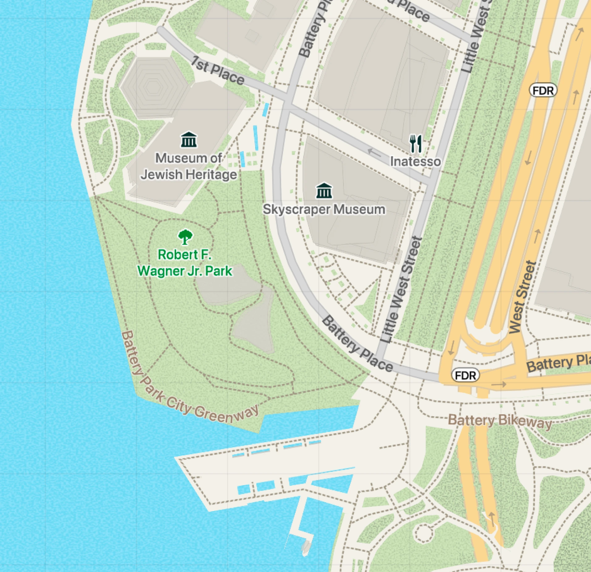
Weast
with Pro features
- Presentation Builder
- Elevation Chart
- Dark mode
- POI
Start with a 14-day trial of Pro features. Upgrade to Pro anytime, right from the app.
Private map presentations for everyone


How it works
Choose a folder with archives from your Mac, iCloud, or the Photos app and turn them into a presentation.
Atlas uses the available data to arrange your materials chronologically and connect them to the map.
Move through your materials automatically or manually, explore the map, and show others the context. Atlas remembers your progress.
Archives stay local
Features
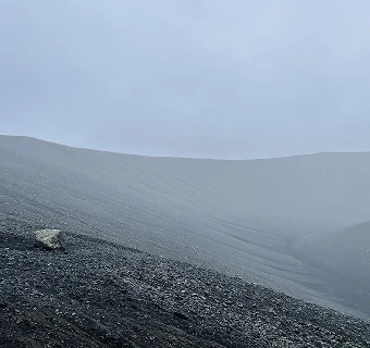
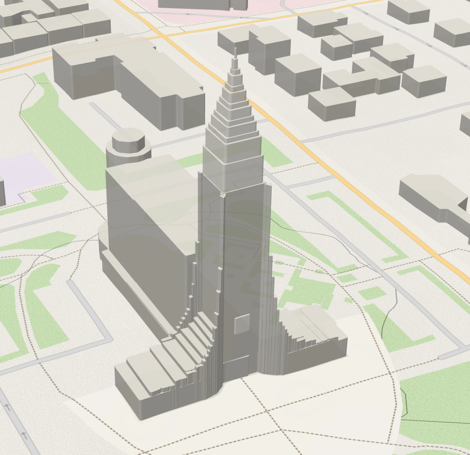
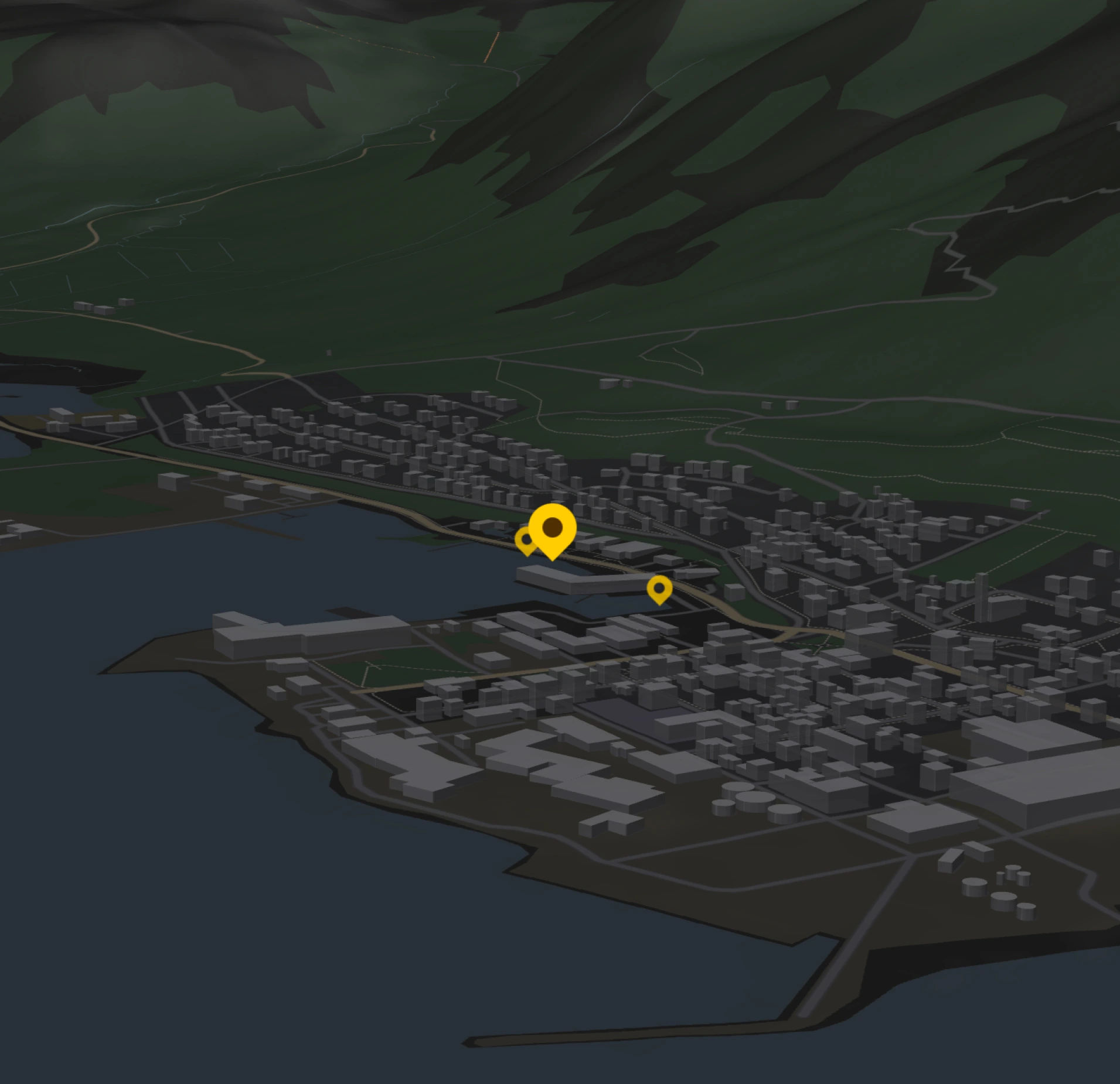
Explore the terrain and buildings around your photos in three dimensions. Change the camera perspective to see how each location fits into its surroundings.
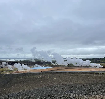
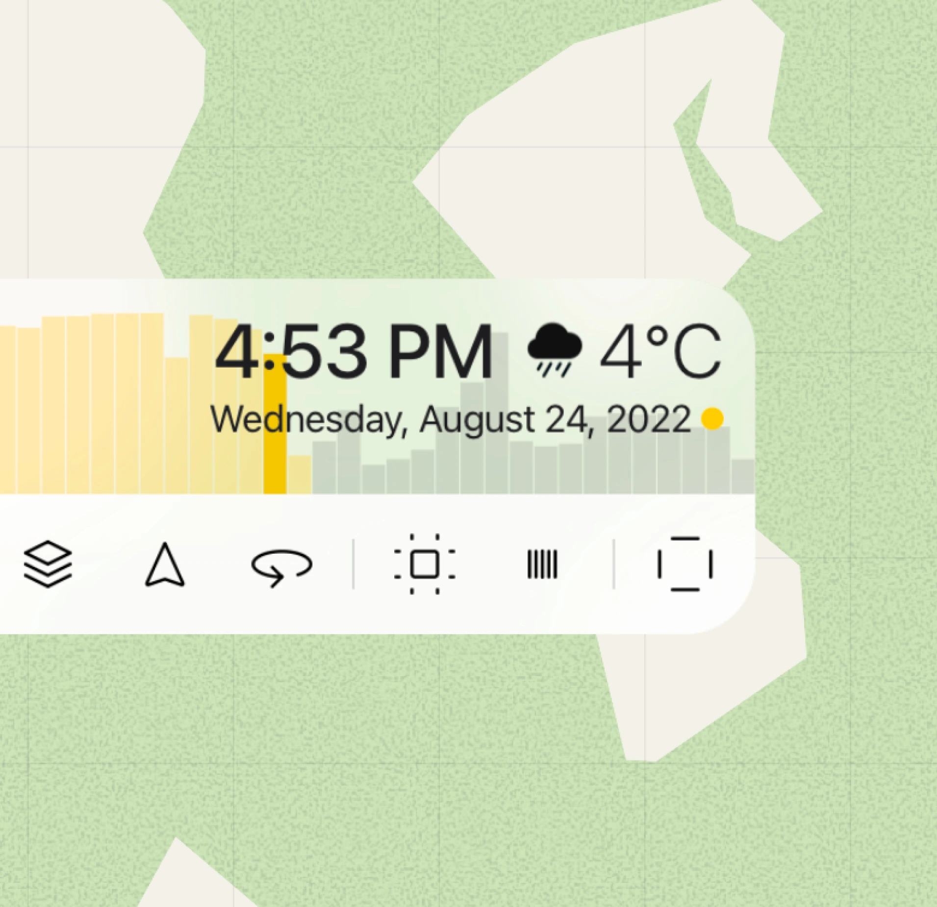
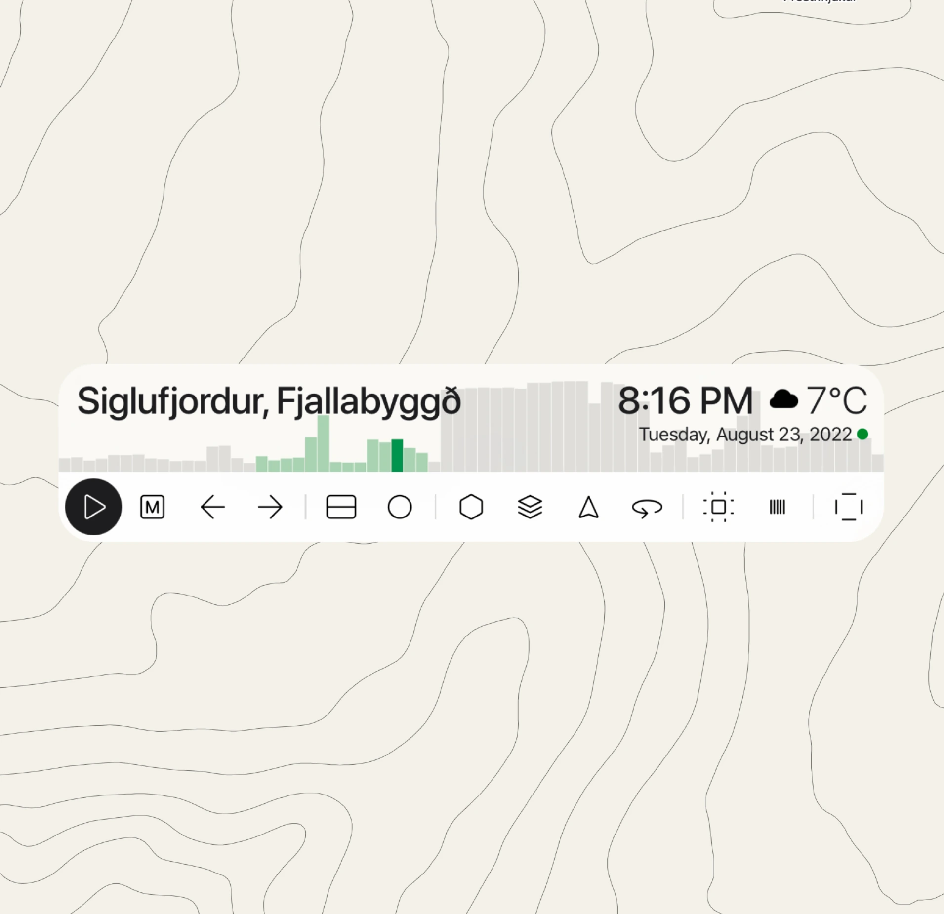
Bring past conditions into the picture with historical weather for the recorded location and date. Estimated temperatures and weather conditions add another layer of context to your archive.
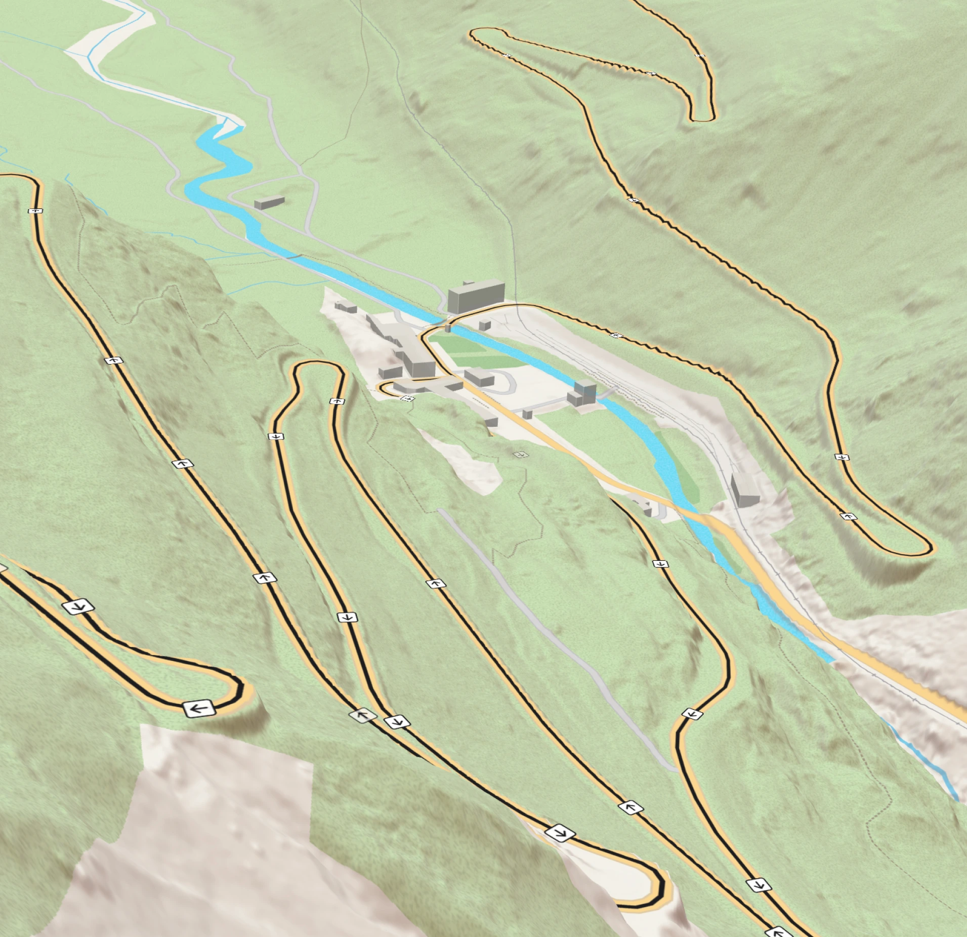
Add your own GPX files to show routes alongside your photos and videos. Connect individual moments to the path between them.
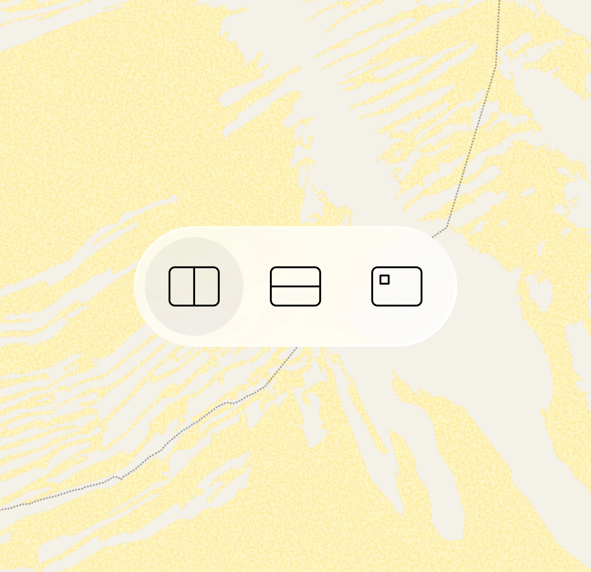
Choose how the map and your materials share the screen. Switch layouts to give more space to the photograph or its geographic context.
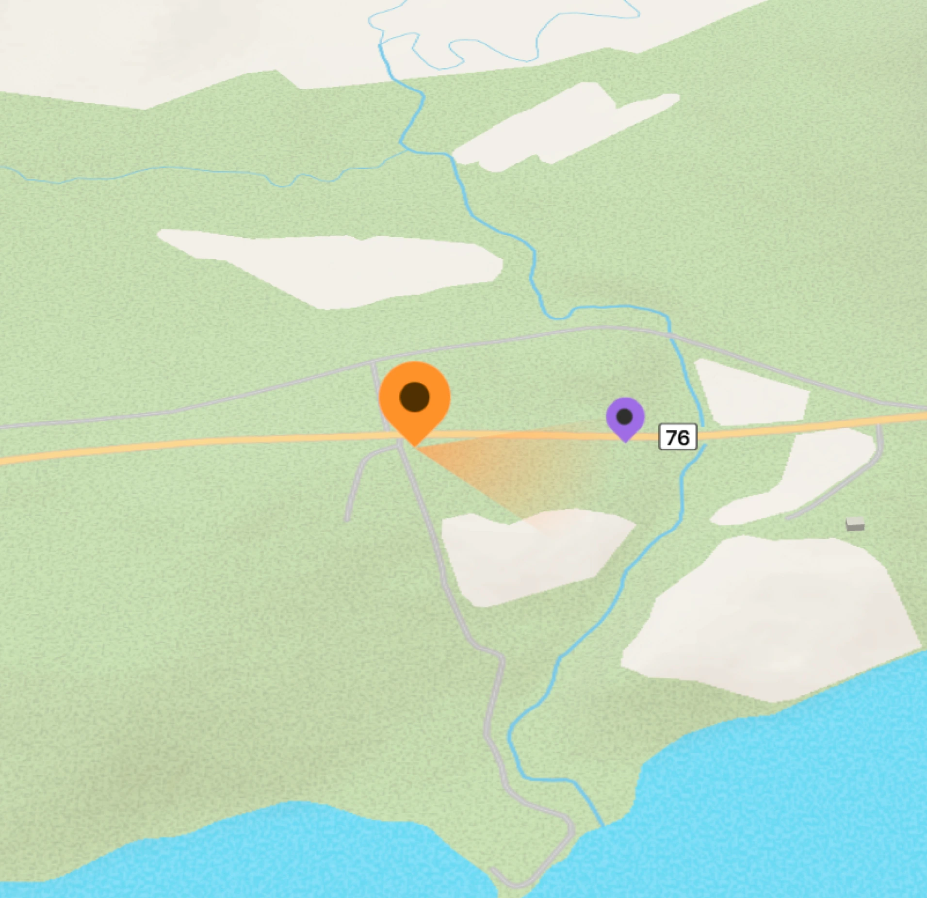
See which direction the camera was facing when a photo was taken, where direction data is available. The radar connects the view in your image to the surrounding landscape.
Follow changes in elevation across your presentation. See how individual moments relate to the higher and lower points along the way.
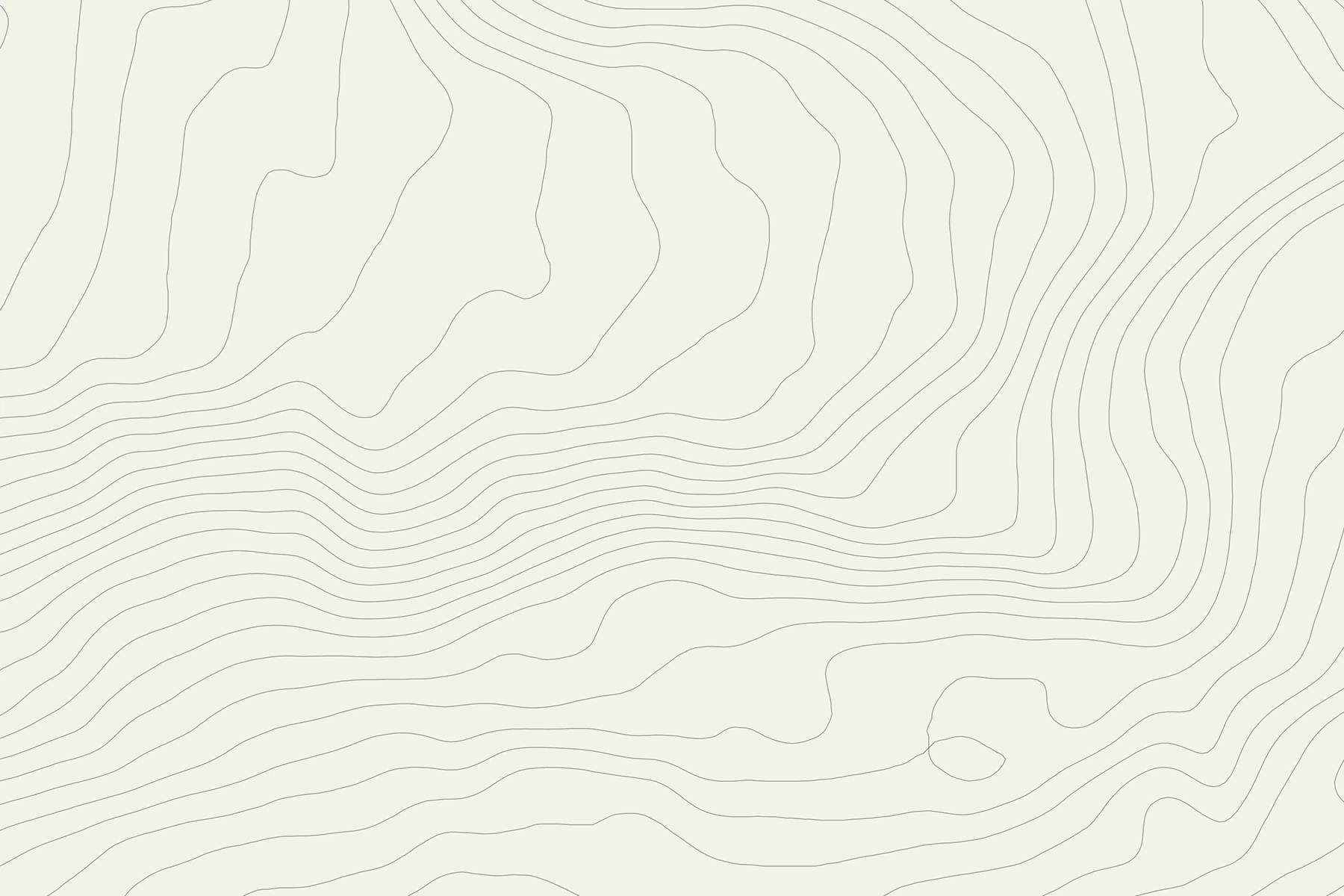
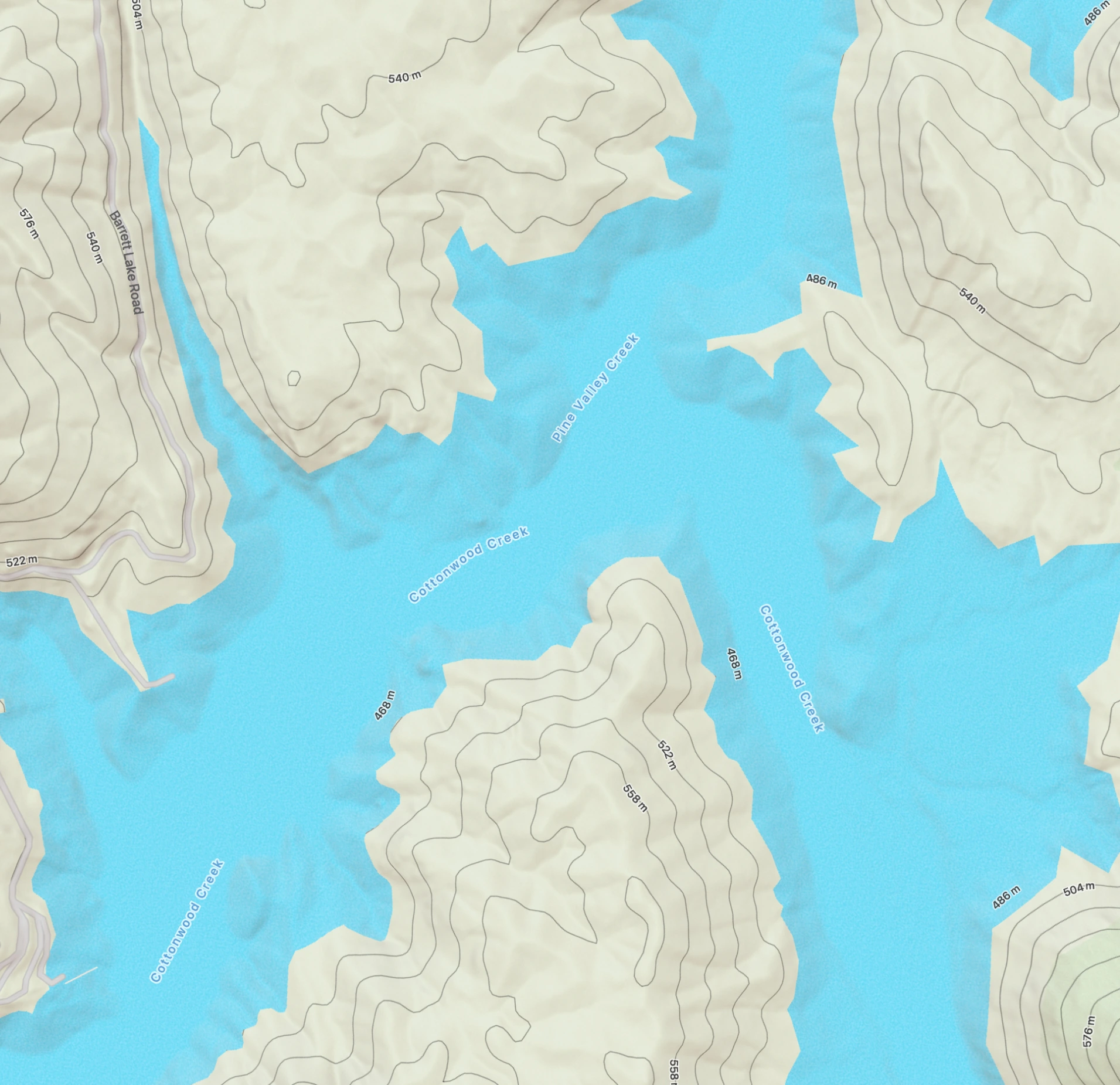
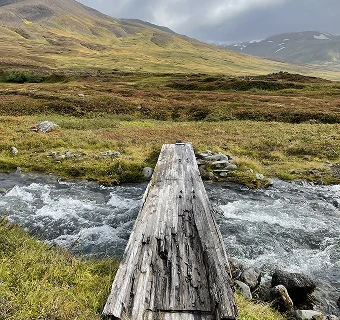
Reveal contour lines to read the shape and elevation of the terrain. Understand the slopes, valleys and ridges around each location.
Switch to a darker appearance for the map and interface. Keep your photos and videos in focus with a quieter backdrop.
Show place names and points of interest around your materials. Identify nearby locations and landmarks without leaving the presentation.
FAQs
Weast is a Mac app that turns a folder of photos and videos into a chronological presentation connected to a map. It helps you view your documentation in the context of time and place without manually organizing every item.
Weast is designed for people working with large collections of photos and videos that contain the required data. It is suitable for exploring a private archive as well as working with project, technical, or field documentation.
No. Weast works without registration or sign-in. Your media is analyzed locally on your Mac and is not uploaded anywhere.
No. You can try Weast for 14 days with full functionality without adding a payment card. After the trial, you can continue using the app with limited functionality.
No. Weast reads the information needed to prepare a presentation, but it does not edit, move, or delete your original media. Your files remain unchanged in their existing location.
Yes. Weast can create presentations from media available on your Mac through iCloud and from your Photos library.
The simplest approach is to organize your media into separate folders on your drive or create an album or collection in the Photos app. You can then select the relevant folder or collection in Weast to create a presentation.
The next time you open the folder, Weast detects the changes and analyzes only new or modified files. It does not need to scan the entire folder again. If the new media lacks the information required for the chronology or map, Weast will show a notice in the summary.
Pricing
Start with a 14-day trial of Pro features. Upgrade to Pro anytime, right from the app.
Billed $108 today, then renews automatically every year at $108 until you cancel. Cancel anytime in the app under Settings → Subscription; you keep access until the end of your paid year. Full refund within 14 days of your first paid purchase only. Statutory rights remain unaffected. Applicable taxes may be added at checkout.